
Lake Lanier Corps Line Rules Buford Buyers Must Know
November 21, 2025
November 21, 2025
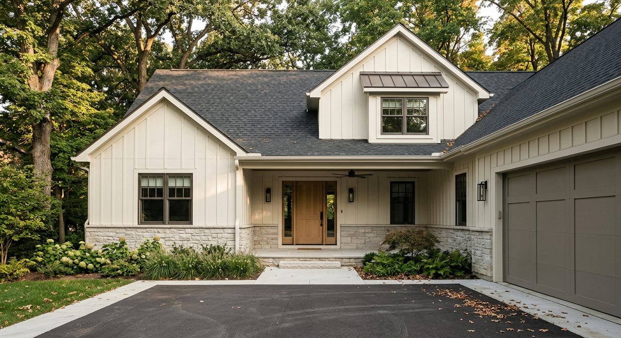
Buying a home on Lake Lanier in Buford is exciting, but that thin line on the plat labeled “Corps line” can change what you can build, clear, or repair along the shore. If you want a dock, open views, or easy water access, you need to understand how this line works before you buy. In this guide, you’ll learn what the Corps line is, how it affects docks and vegetation, who handles permits, and the exact steps to protect your investment. Let’s dive in.
The Corps line marks the boundary of land and water managed by the US Army Corps of Engineers for the Lake Lanier project. Anything seaward of that line falls under federal control for shoreline use and improvements. Your private property is typically landward of the line, subject to recorded easements and local zoning.
This line is different from a property line. A single lot can cross the Corps line, with the upland portion privately owned and the shoreline portion managed or restricted for the federal reservoir project. The Corps line is also not the same as the ordinary high-water mark or “full pool” elevation. It is a federal project boundary set for management and public purposes.
You may see it labeled on plats, surveys, or deeds as “Corps line,” “project boundary,” or “easement line.” Ask for a certified survey that shows its exact location on your lot and how close it is to the water’s edge.
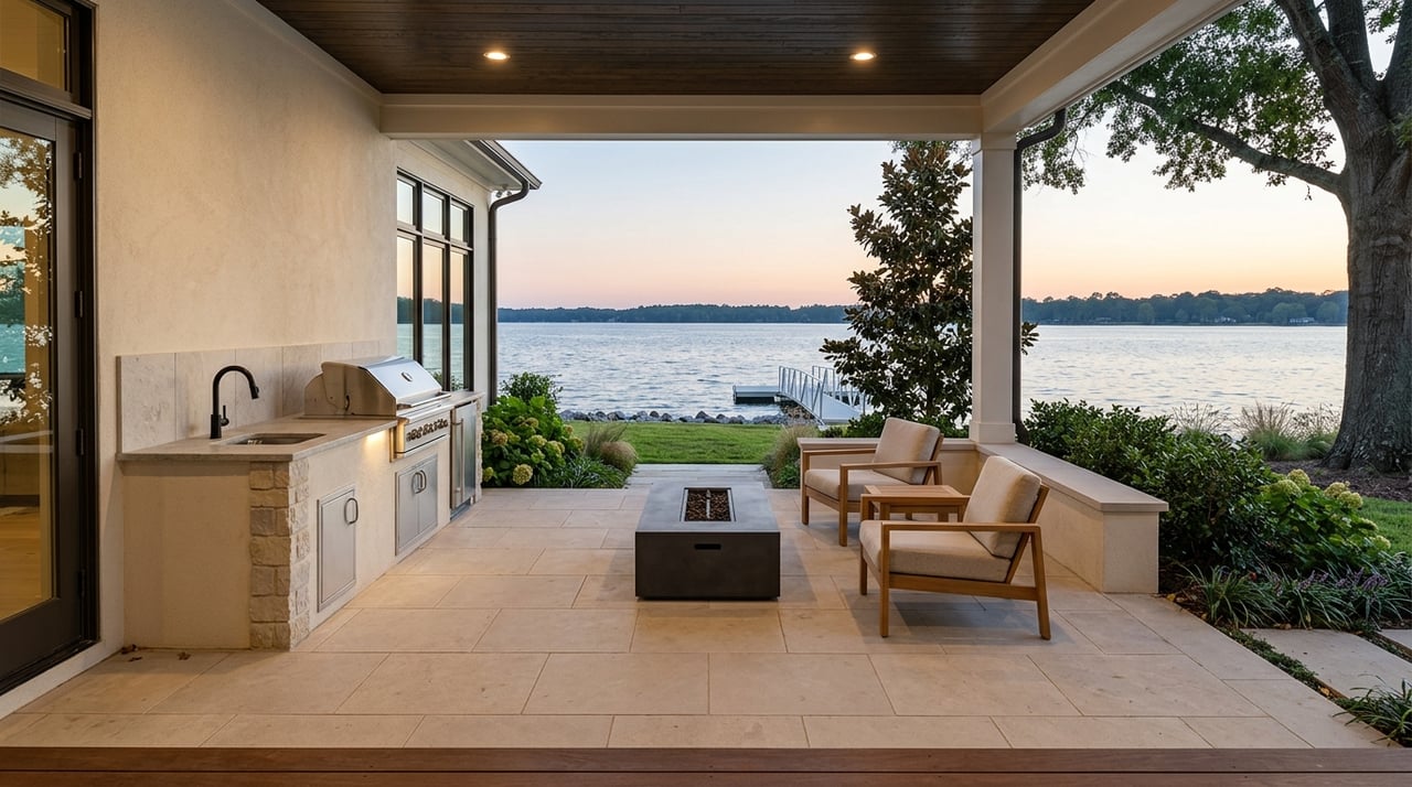
If the Corps line crosses your lot near the shoreline, your right to add or modify a dock, clear vegetation, or reinforce the bank can be limited. USACE approvals are often required for improvements seaward of the line, and those approvals can include conditions that affect future use and resale.
Owning a lakefront lot does not automatically grant you the right to place or modify structures on land managed under the Lake Lanier project. You need to confirm whether existing structures are authorized and what is allowed in your shoreline zone.
Private docks, boat houses, piers, and similar features seaward of the Corps line generally need a USACE authorization, sometimes called an outgrant or license. Bank stabilization, riprap, or dredging can require additional permits and are guided by shoreline rules and environmental standards.
Shoreline clearing is regulated. Removing native trees or roots within the project area is often restricted. Many shoreline plans use zones with different allowances for selective trimming, lawns, and structural work. Expect limits that protect water quality and habitat.
Unless a private authorization is in place, project lands below the Corps line may be publicly accessible. Do not assume exclusive private access. Minor access features, such as steps or paths near the line, can still trigger review.
Several agencies may be involved in approvals for docks and shoreline work around Lake Lanier.
USACE review can take weeks to several months depending on complexity, application completeness, environmental review, and workload. State and county reviews add time, so plan for several months in total. Application and annual administrative fees may apply for outgrants, and local and state fees vary. Many outgrants are recorded and can transfer with the property, but you will need to notify the Corps and follow transfer procedures. Some authorizations are time limited and require renewal.
Use this step-by-step plan to keep your purchase on track.
Unauthorized work seaward of the Corps line can lead to citations, removal, and fines. Outgrants include conditions and can be modified or revoked for project needs or plan updates. Docks and boathouses face storm and water level risks, so confirm insurance options for structures authorized under current terms. Lake levels change with operations for flood control, water supply, navigation, and recreation, which can affect dock usability.
The status of a transferable outgrant can impact resale value. Older plats may not match current conditions, so rely on a current survey and recorded documents.
In Buford, confirm whether the property is inside city limits or in unincorporated Gwinnett County because permit requirements can differ. Coordinate with Gwinnett County Planning and Development, and use the USACE Lake Sidney Lanier Project Office for shoreline status, SMP zoning, and authorization questions. Many lake neighborhoods have HOAs that add rules for docks, clearing, and design.
The Corps line does not have to be a deal-breaker. When you know where it lies and what it allows, you can protect your shoreline dreams and your budget. With the right survey, documents, and approvals, you can move forward with clarity and negotiate with confidence.
If you want a local partner who knows Lake Lanier’s shoreline rules and how to manage permits, outgrants, and timelines, reach out to Michelle Sparks. Michelle combines deep lake expertise with a concierge process to help you buy smart and enjoy the lifestyle you want.


With extensive knowledge of the Lake Lanier real estate market, Michelle helps her clients find their dream lakefront home or successfully sell their property for top dollar.

MICHELLE SPARKS
434 Green St Gainesville GA 30501